Turn Maps Into 3D

Easily transform any location into a stunning 3D visualization. Upload your map, customize the look, and bring landscapes, cities, and terrains to life in just seconds.

Generate geo referenced 3D map models in self contained formats (.glTF, .IFC, .OBJ, .STL, .3MF) all ready for commercial use. Every file works offline, without external services or API keys. Your models remain fully usable forever, completely independent of our platform.

Interactive 3D Maps, Ready to Embed

Easily integrate interactive 3D maps into your website or app. Our models are lightweight, customizable, and work seamlessly across all major platforms.

Create Your Own 3D World

Turn any location into a fully interactive 3D world in just a few clicks. Customize landscapes, cities, and terrains, then export in multiple formats for websites, apps, or offline projects. No coding, no complex setup just your world, brought to life in 3D

Explore with 3D Navigation

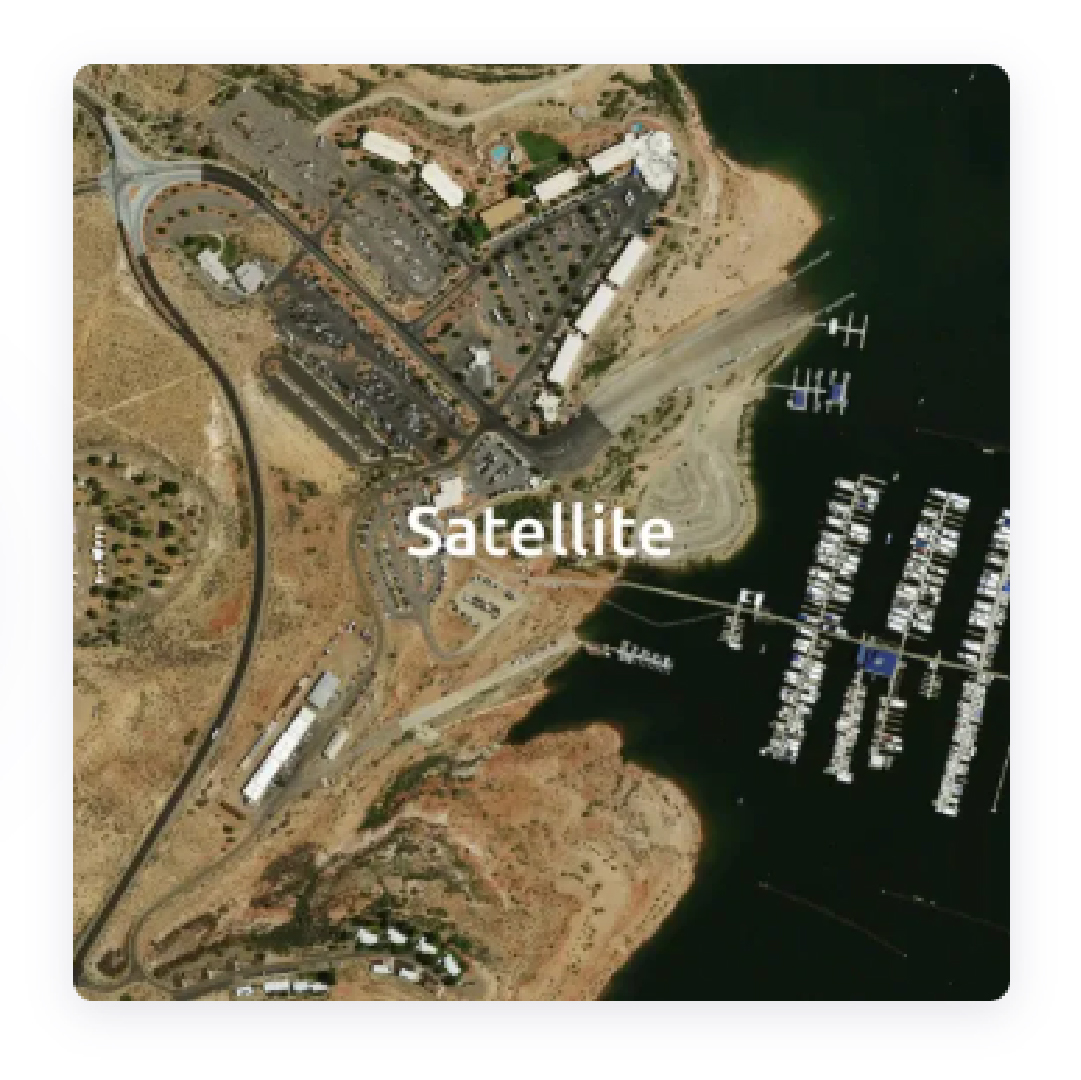
Experience navigation like never before with immersive 3D maps. Visualize routes, landmarks, and terrain in rich detail, making it easier to plan, explore, and interact with the world around you. Perfect for websites, apps, and projects that demand next-level mapping.

Powerful Features for Smarter Mapping

Bring Drone Data to Life in 3D

Transform raw drone imagery into accurate, high quality 3D models. Generate detailed landscapes, buildings, and terrains that are ready for analysis, visualization, and integration into your projects. 

Pick Your Perfect Map Style

Scroll to Top